JOHANNESBURG, April 22, 2025—When the ground-breaking Digital Earth Africa (DE Africa) program was launched over five years ago, it was widely regarded as an innovative and revolutionary way for Africans to access and leverage Earth observation data to enhance decision-making around critical environmental and socio-economic challenges. With support from trailblazing funders including The Leona M. and Harry B. Helmsley Charitable Trust, the Australian Government and Amazon Web Services, DE Africa has exceeded expectations, making good on its mission to support real-world impact and positive change across the length and breadth of Africa.
Now, as DE Africa moves into its next phase, it is crucial that the momentum is ramped up. The Helmsley Charitable Trust has recently committed an extension of funding to contribute directly to further embedding the program throughout Africa and ensuring long-term sustainment.
Walter Panzirer, a Trustee of the Helmsley Charitable Trust, says that a strong point of interest in DE Africa is the growing potential to transform data into evidence-based, actionable insights for Africa.
“Key for us is supporting programs that drive action and impact, in which insight informs policy, and policy translates into tangible, positive change for communities. DE Africa leverages technology and data for sustainable development, sustained livelihoods, and resilient communities,” says Panzirer. “We are committed to working with DE Africa to achieve our shared goal of meaningful progress across the continent.”
Dr. Lisa-Maria Rebelo, Acting Managing Director of DE Africa, says, “The extended support from the Helmsley Charitable Trust not only enables DE Africa to increase our impetus, but also provides us with a crucial opportunity to explore long-term sustainment strategies. This commitment further underscores DE Africa’s role as a vital pan-African resource for policymakers, scientists, civil society, and the private sector.”
Continent-wide uptake
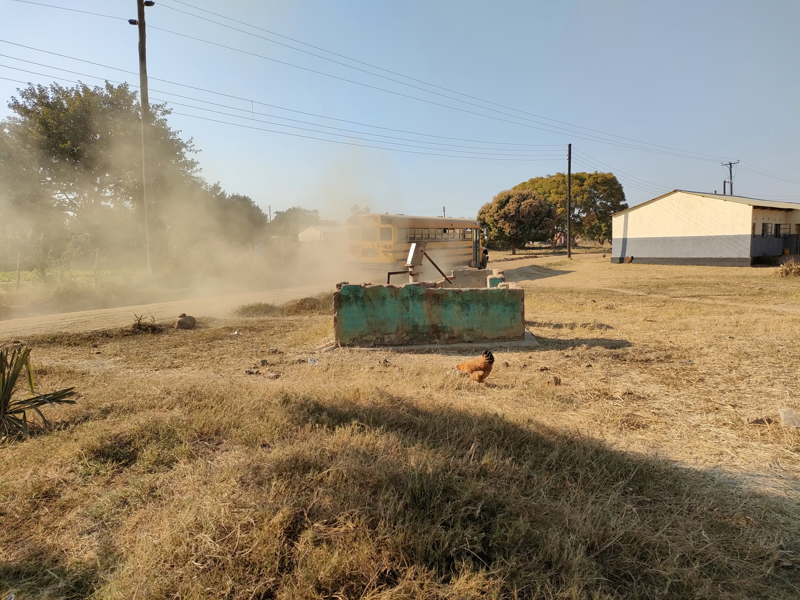
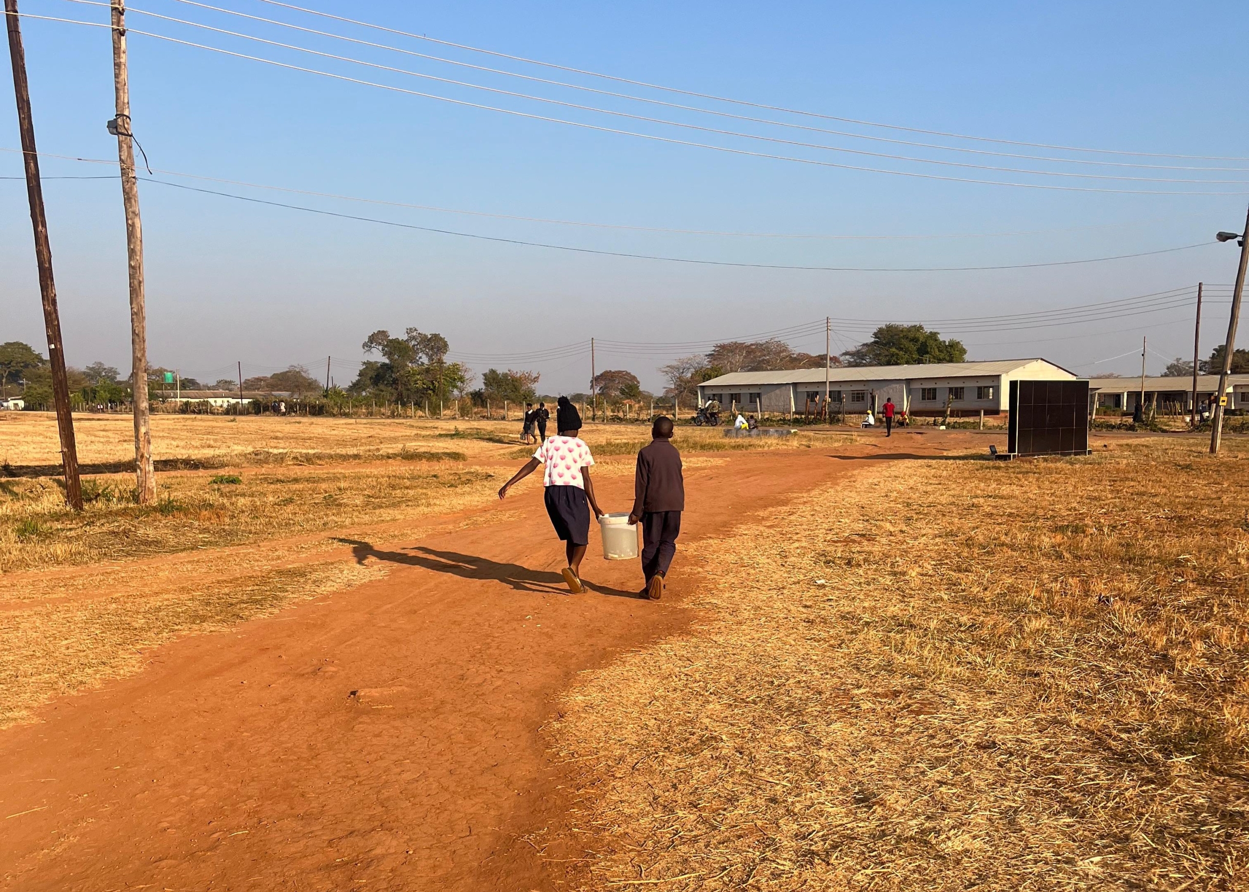
To solidify the role that DE Africa plays in the continent requires a multi-pronged approach. In-country engagement with high-level stakeholders at the national level is complemented by outreach to regional, interregional and global organisations to drive consistent uptake of DE Africa that ultimately informs policy and decision making. In parallel, broad-based community-level engagement takes place with individuals, local community groups, on-the-ground organisations and private sector players who are actively participating in managing their natural resources while safeguarding livelihoods and economic means.
With just under 30,000 users of DE Africa’s visualisation interface/platform and 7,500 developers working in the virtualized sandbox environment, as well as almost 5,000 users registered for DE Africa’s online learning programme, user numbers continue to swell.
Almost 100 government departments and major regional, interregional and global institutions have adopted, or facilitated adoption, of the DE Africa tools and services. This includes specific engagements with more than 50 governmental and associated departments across Africa including (but not limited to) the Ministry of Water Resources and Irrigation in Egypt; National Statistics Department and Ministry of Agriculture in Tunisia; Somali National Bureau of Statistics; Ministry of Water in Benin; Ministry of the Interior in Djibouti; Kenya Space Agency; Rwanda Space Agency; Agence Gabonaise d’Études et d’Observations Spatiales (referring to the Gabonese Agency for Space Studies and Observations); Ghana Space Science and Technology Institute; Ministry of Mines and Strategic Resources in Madagascar; Geological Institute for Comoros; Ministry of Agriculture in Botswana; and Western Cape Department of Water and Sanitation in South Africa.
Additionally, DE Africa has worked with regional and global organisations such as the African Union Commission; UN Economic Commission for Africa (UNECA); UN Statistics Department; the United Nations Committee of Experts on Global Geospatial Information Management (UN-GGIM); United Nations Office for Outer Space Affairs (UNOOSA); and the Organization for Economic Co-operation and Development (OECD).
Stories of Impact
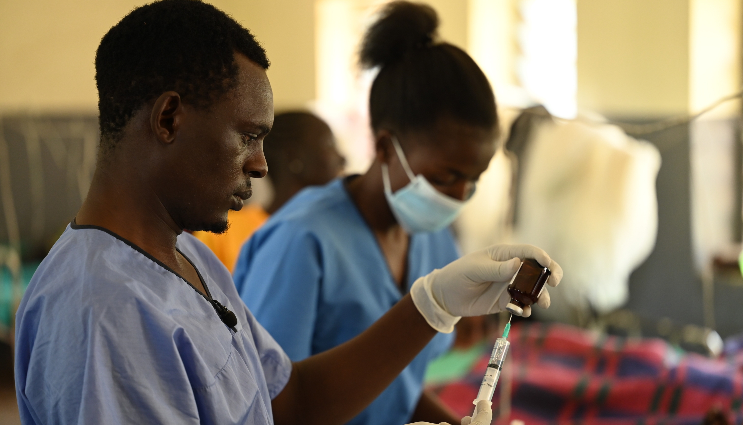
For example, in Ghana, multi-disciplinary researchers working with Ghana’s Space Science and Technology Institute have, through DE Africa’s satellite-based shoreline mapping capabilities, revealed critical insights into the dynamics of coastal erosion in the Keta Lagoon and Cape Coast city. Coastal erosion has triggered serious health concerns here, with saltwater intrusion affecting the quality of groundwater, leading to sanitation and hygiene issues affecting surrounding settlements. These effects bear a very real cost for those communities living on the coastline and around the lagoon, where they must balance the hard choice of upheaval or displacement against potential ill health, dwindling livelihoods and incessant food insecurity.
The study was able to successfully identify high-risk erosion zones and evaluate the impact of existing sea defence projects, providing valuable data to support future interventions. These findings will contribute to the development of a near real-time coastal erosion monitoring system, which will serve as a crucial tool for government agencies such as the National Disaster Management Organisation, Fisheries Commission, the Ministries of Environment, Science, Technology, and Innovation, as well as Works and Housing.
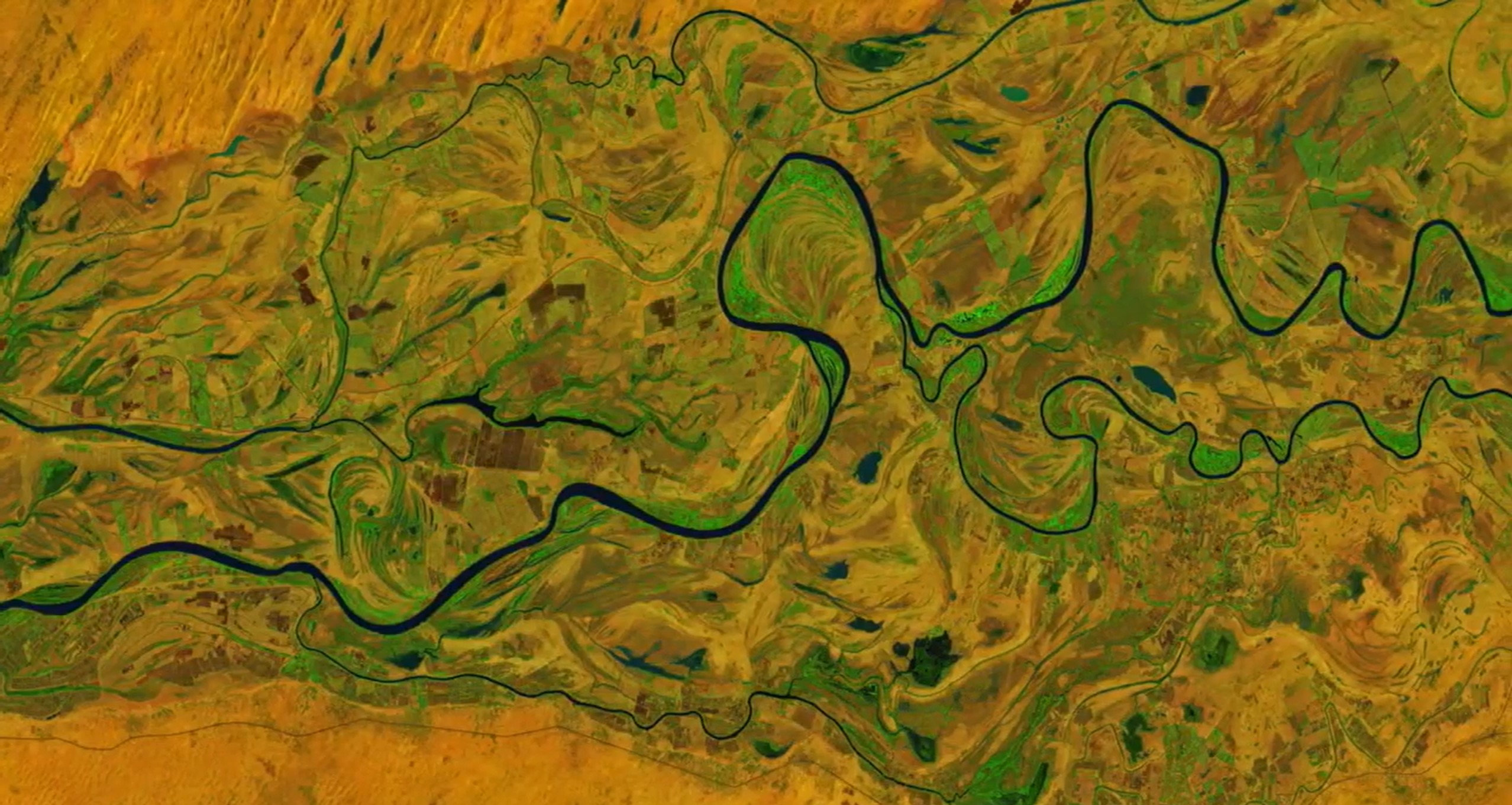
Another compelling case has been a study in Koji State, Nigeria, to enhance preparedness against disaster. Lying at the confluence of the Niger and Benue Rivers, this geographical location, coupled with the seasonal release of water from the Lagdo Dam in Cameroon, makes Kogi highly susceptible to severe flooding. With the frequency of floods increasing over the years, including major events in 1994, 2004, 2012, 2020, and again in October 2024 – which saw the displacement of thousands of people – flood management has become a critical concern for the state.
With traditional methods having proven inadequate in managing flood risks, researchers recently developed GIS-based hydrological models – validated through DE Africa’s data – to identify flood risk areas. Key factors such as elevation, proximity to water bodies, land cover, and population density were considered. Actionable information was developed to guide evacuation planning: evacuation maps highlight accessible routes, safe zones and vulnerable areas where roads may be impassable. These maps, leveraging DE Africa data, offer the potential to ensure timely evacuations, reducing the potential loss of life and property.
Technical infrastructure
The Australian Government, together with African partners, led the inception and establishment phase of DE Africa by utilising cutting edge technology created by Digital Earth Australia for the African continent. DE Africa has built a robust operational infrastructure, providing timely and reliable Earth observation data to a diverse range of users. The program leverages the Open Data Cube (ODC) technology. The ODC, a not-for-profit open-source project and community, was created and is facilitated by the Committee on Earth Observation Satellites (CEOS), with the Australian Geoscience Data Cube (AGDC) as its initial implementation. Geoscience Australia remains a contributor to the science and technology for the program.DE Africa simplifies the management and analysis of vast amounts of satellite imagery. Its platform offers pre-processed, analysis-ready data that maps the continent in unprecedented detail including more than three decades of historical data to near real-time updates. Today, DE Africa hosts more than five petabytes of data stored in Amazon Web Services Africa region (Cape Town), ensuring a secure and high-performing service.
###
For more information about Digital Earth Africa and its initiatives, please visit www.digitalearthafrica.org.
About Digital Earth Africa
Pan-Africa program Digital Earth Africa was established over five years ago. The program delivers decision-ready products using Earth observations to address social, environmental, and economic challenges in Africa. Digital Earth Africa processes open data to meet the continent’s needs to enhance capacity and foster innovation across sectors. Digital Earth Africa exists to improve the lives of people across the African continent by translating Earth observations into insights that will support sustainable development.
About the Helmsley Charitable Trust
The Leona M. and Harry B. Helmsley Charitable Trust aspires to improve lives by supporting exceptional efforts in the U.S. and around the world in health and select place-based initiatives. Since beginning active grantmaking in 2008, Helmsley has committed more than $4.5 billion for a wide range of charitable purposes. For more information on Helmsley and its programs, visit helmsleytrust.org.